ENGINEERING & INFRASTRUCTURE


Best Tools For The Best Results
Leverage our experience and enterprise quality equipment to eliminate the guesswork and speed up the construction process. Some of the key areas we support:
Aerial Mapping and Survey:
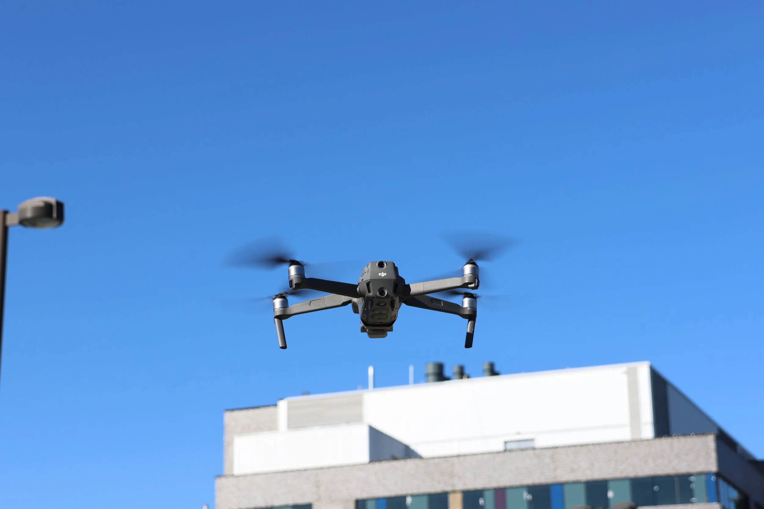
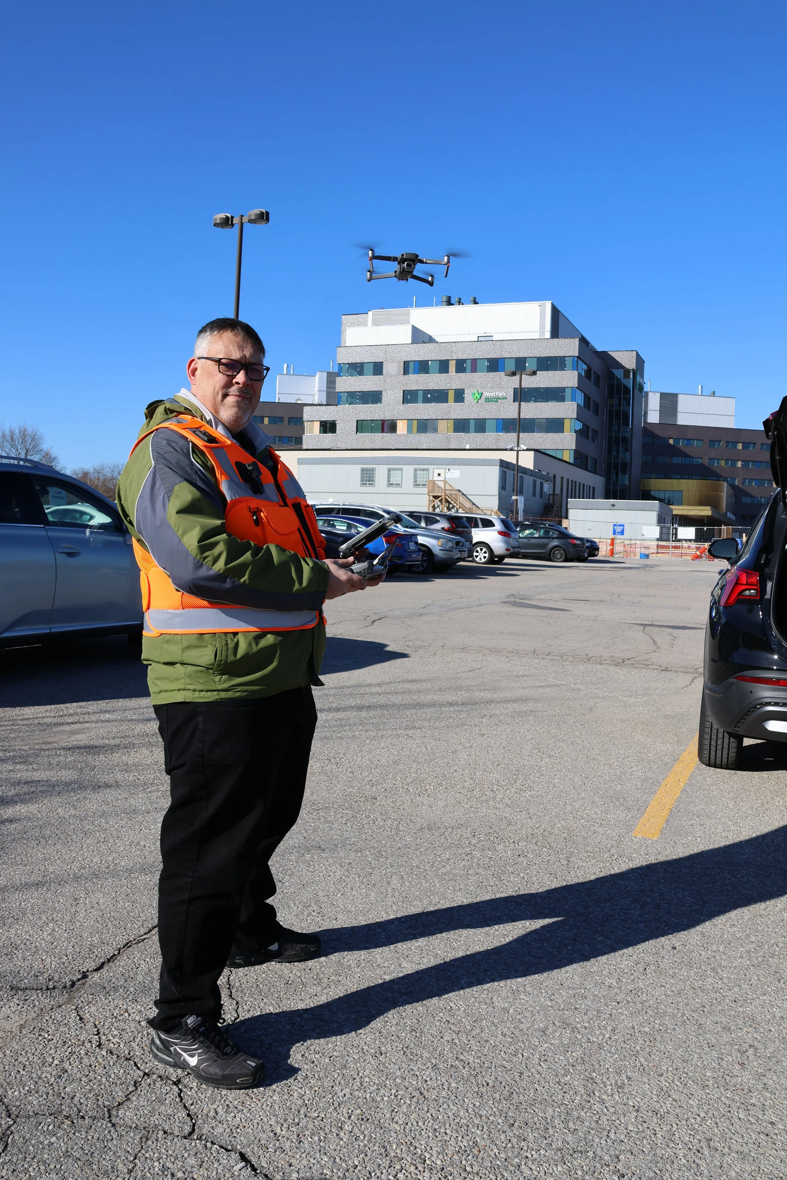
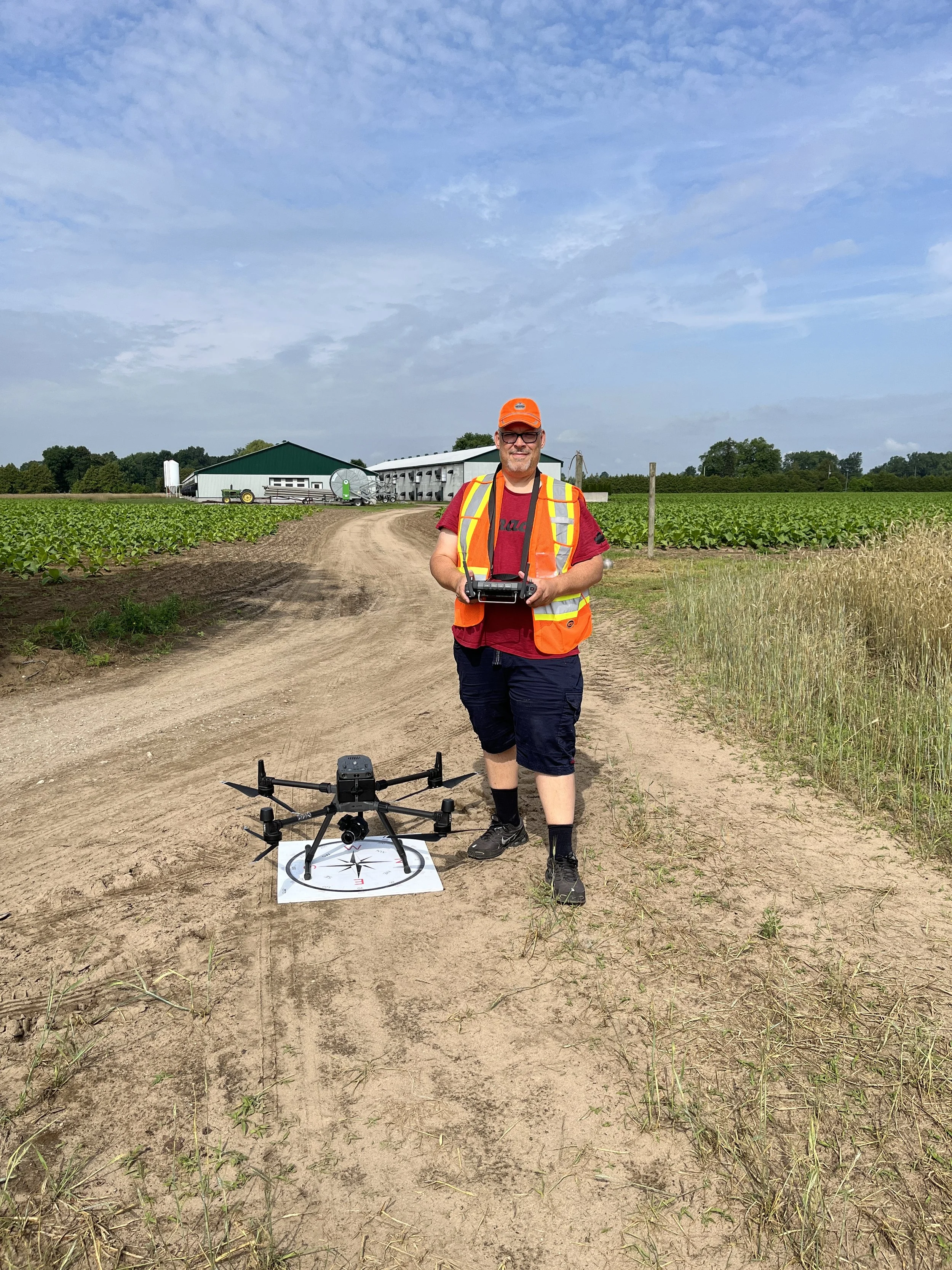
Utilize enterprise level RTK Drones to ensure precision.
Create as-built models, point clouds and import data into CAD.
Create ortho mosaic maps (TopCon) of pre, during and post construction operations.
Document road conditions and right of way access. Proves to stakeholders if pre-existing damage was present.
2D and 3D mapping as well as simultaneous photographic and video imagery for detailed comparison.
Using a UAV surveying method, not only produces a Digital Surface Model (DSM), but also a georeferenced, highly detailed orthophoto (geotagged, geometrically correct and overlay on to Google Earth).
Reduce need for surveying equipment.
Fast, unaffected by cloud cover.
No bottleneck/delay for other trades/contractors waiting for results of mapping.
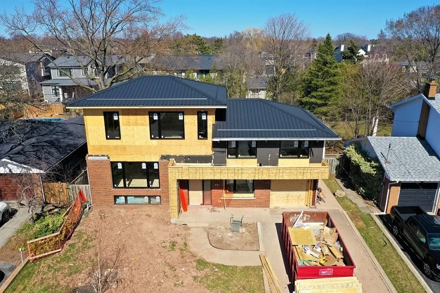
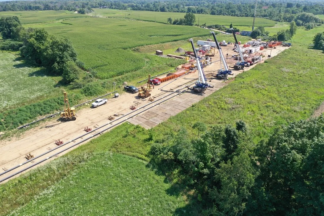
Aerial Inspections & Construction Progress Reports:
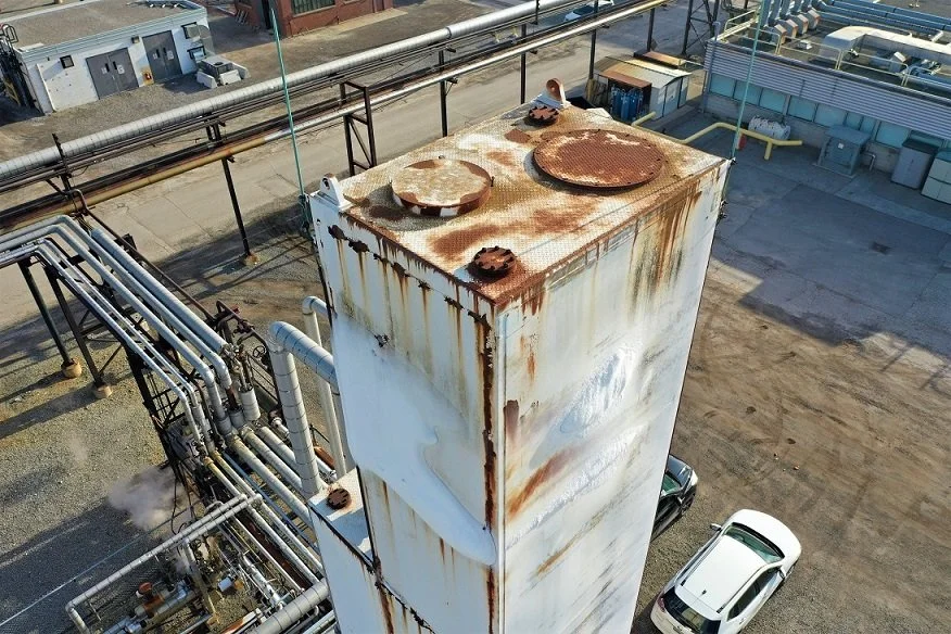
Conduct on-demand inspections to monitor the safety and integrity of an asset.
Provide regular imaging of construction sites to record progress
Improve efficiencies and eliminate human risk factors.
Use thermal imaging to reveal integrity issues in hard to access areas of buildings and structures like smokestacks, roof structures, water towers, silos etc.
Stay safe - no more rappelling, harnesses or cages.
Stockpile Reports - for quarries, open pit mining etc.
Accurately determine stockpile volume (cut/fill)
Faster physical inventories, more often, more accurate.
Data to make material handling decisions, reduce write-offs.
Increase productivity, redeploy labour.
Reduce third party measuring expenses.
Enhance employee safety, no climbing piles.
Reduce survey teams/equipment.
Engineering/Structural Analysis:
Non contact, non invasive, safe for structures.
Equipment doesn’t need to be taken out of service.
Fast, safe, less expensive than other options.
Environmentally friendly.
Versatile - used for many applications, inspections, surveying, mapping.
Survey, TopCon, inspections, volumetric, thermal, LiDAR and so much more. literally the skies the limit!
Better Ways To Share Data With You Team
Click HERE to see the full experience
Click HERE to see the full experience
Often the images and data collected for a project are large and hard to share effectively. We can provide the data to you and your teams with a simple to use web link.
As technology continues to change new solutions for capturing, processing and interacting with media has evolved. Sky Lens Studios embraces cutting edge tools and software to capture stunning aerial images, process these images, and present them. You are able to view the materials on any web enabled device, and share with clients or team members with a simple URL.
Six Elements Available (Click HERE or HERE for the full experience):
Intro Video - Captivating aerial video clips showcasing the property or project
360˚ Panorama - Highlighting hot spots as points of interest in the area
Orbit - Circles around the property to see the home/project from all angles
Custom Google Map - Tiles showing the most up-to-date imagery of the location
3D Model - Showing proportionality of the building and structural features (includes point cloud)
Image Gallery - To provide additional photos and perspectives (deep zoom functionality)
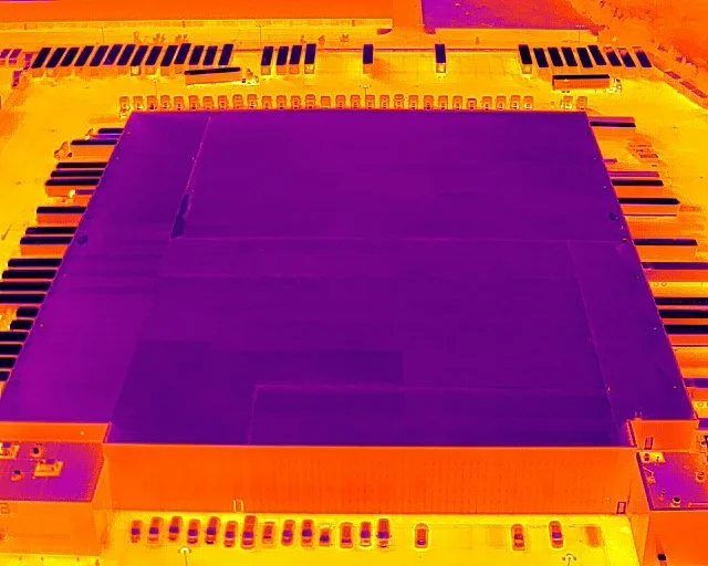
Thermal Roof Inspection
-
![]()
1 - Typically a thermal roof scan begins once there is no longer solar load on the building. Generally 30 minutes after sunset, but each roofing material will require a different time period.
-
![]()
2 - A thermal image of the roof can help find potential issues like water ingress or heat loss.
-
![]()
3 - Thermal images are stitched together to create an ortho mosaic image of the roof. Areas of interest can be investigated,
-
![]()
4 - This area shows signs of potential water ingress or damage to the roofing structure.
-
![]()
5 - Capturing photographs of the roof during day light allows for a close examination of the areas identified as a concern.


LiDAR
-
![]()
1 - A LiDAR scan creates a point cloud using a laser. The laser can penetrate vegetation and capture data points on the ground.
-
![]()
2 - This point cloud can be classified enableing the distinction between vegetation and the ground.
-
![]()
3 - Once classified the ground points can be revealed by removing any vegetation. This allows for better planning of projects like road placement or fill calculations.
-
![]()
4 - LiDAR data can also produce a very accurate digital elevation model (DEM) revealing true ground contours.


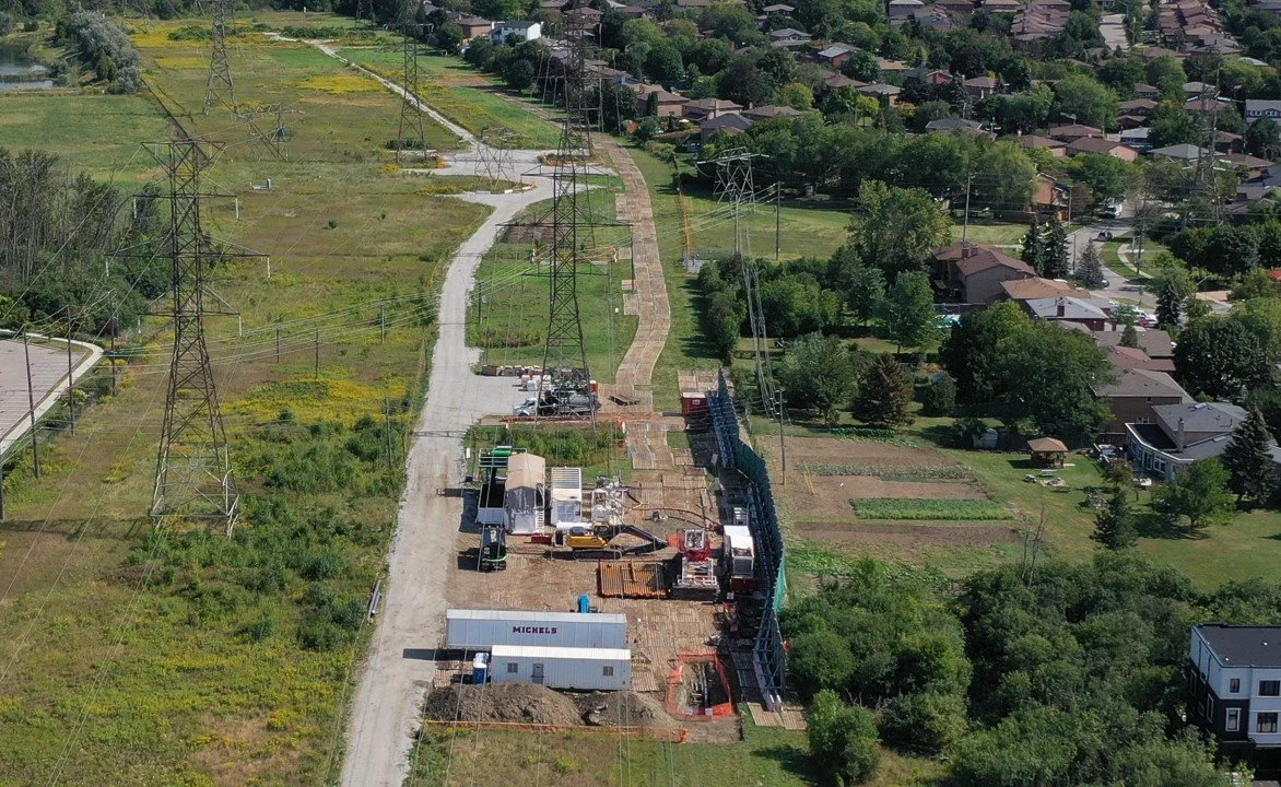
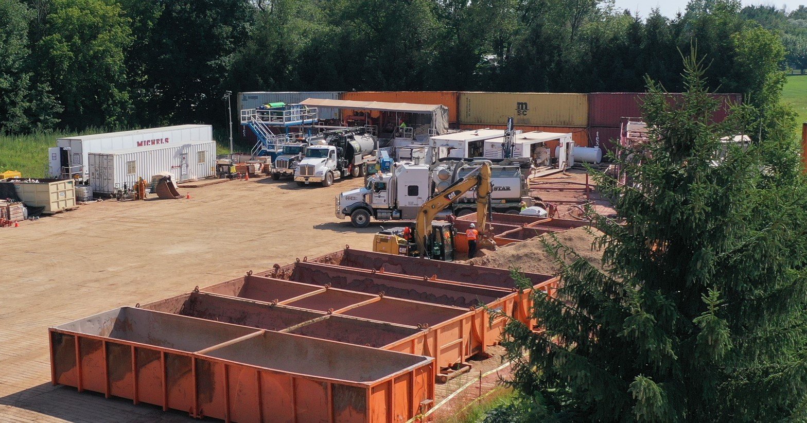
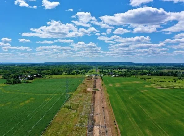
Construction Progress Monitoring
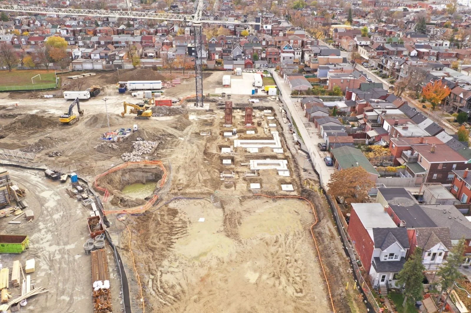
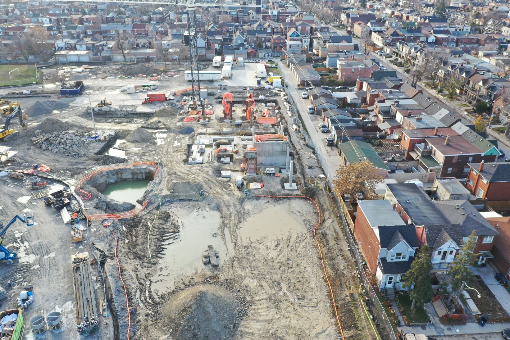
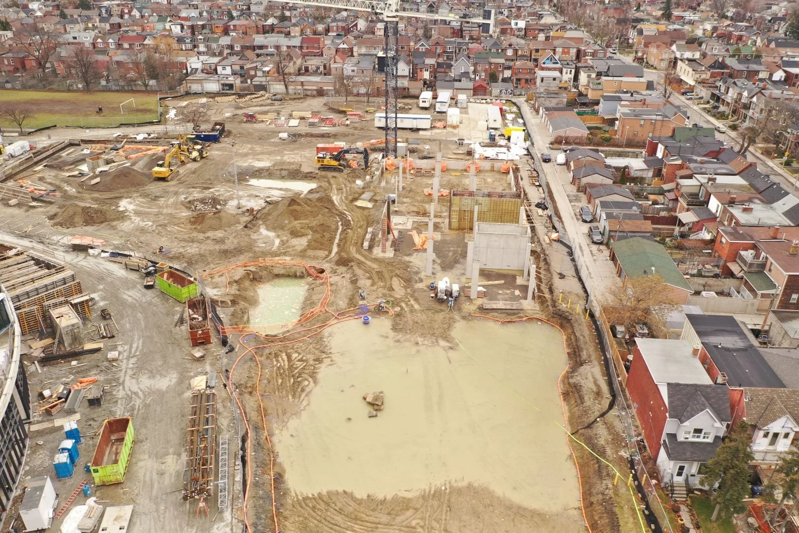
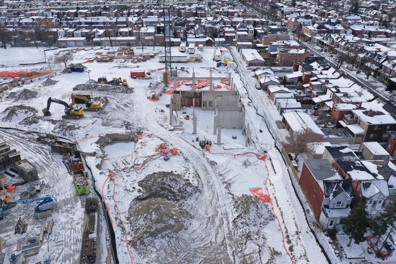
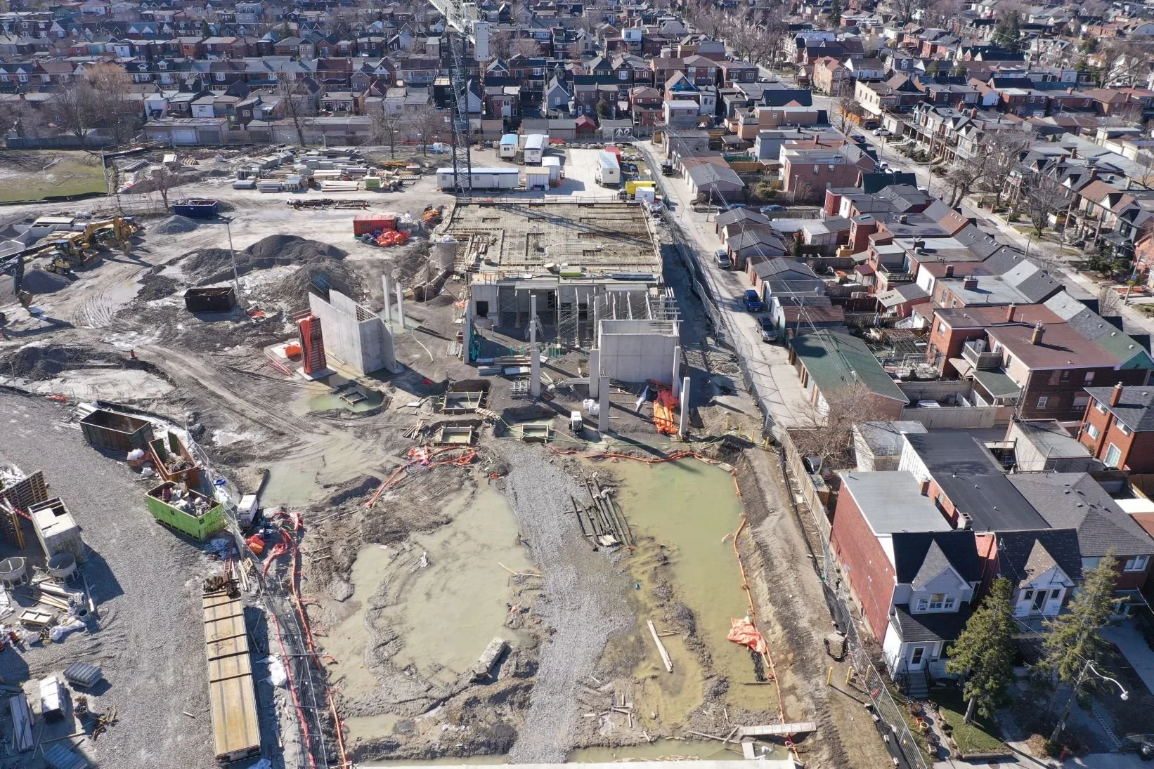
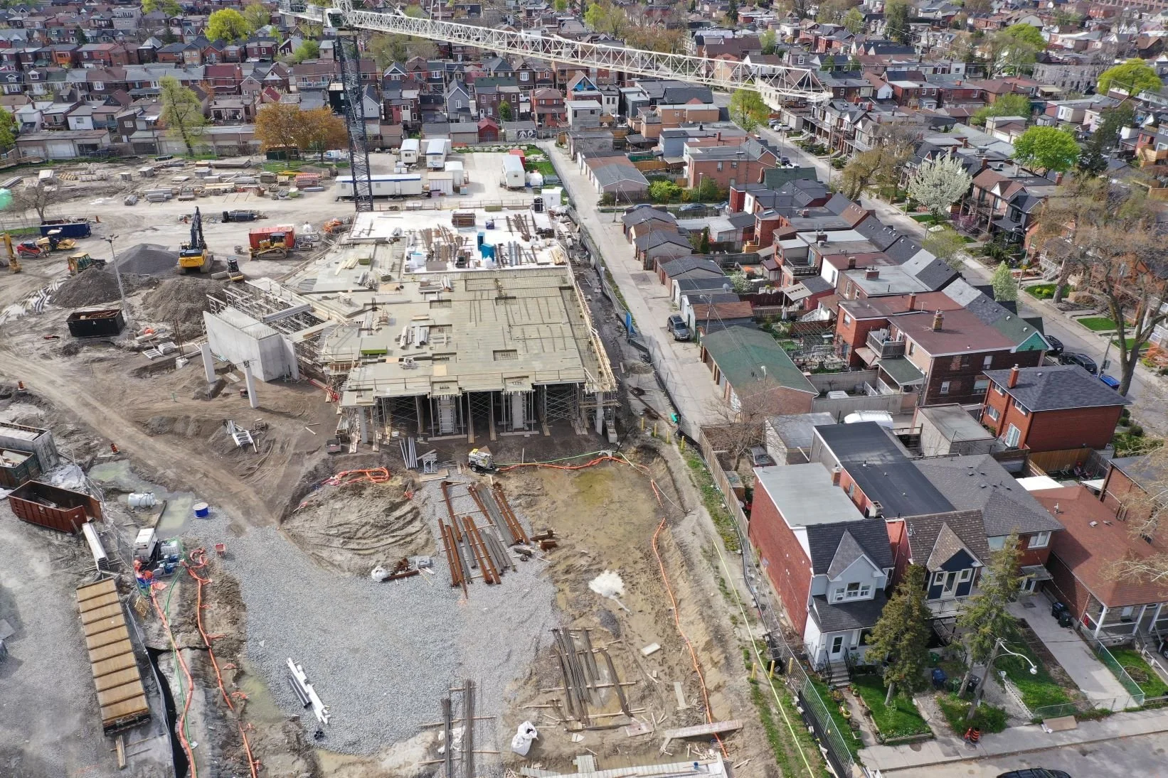
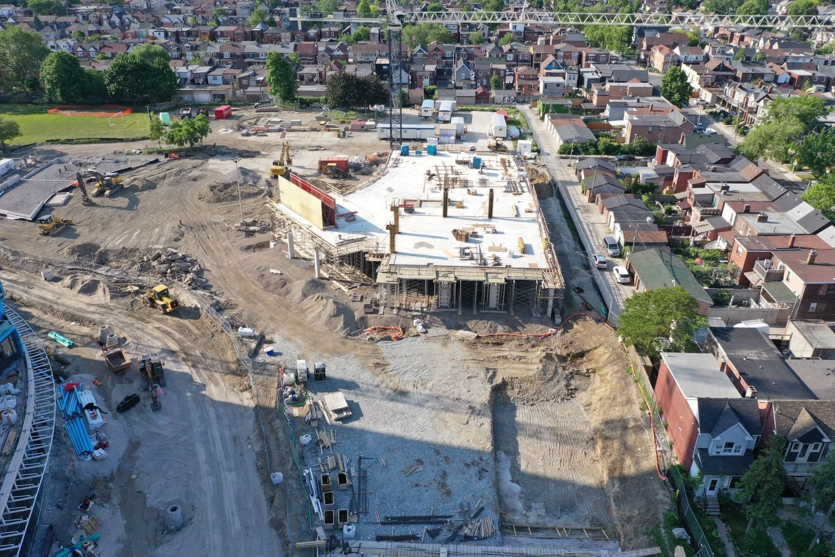
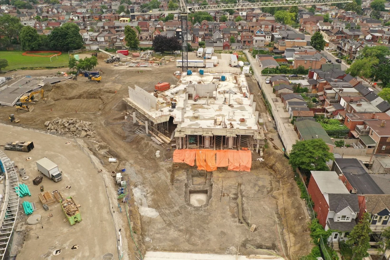
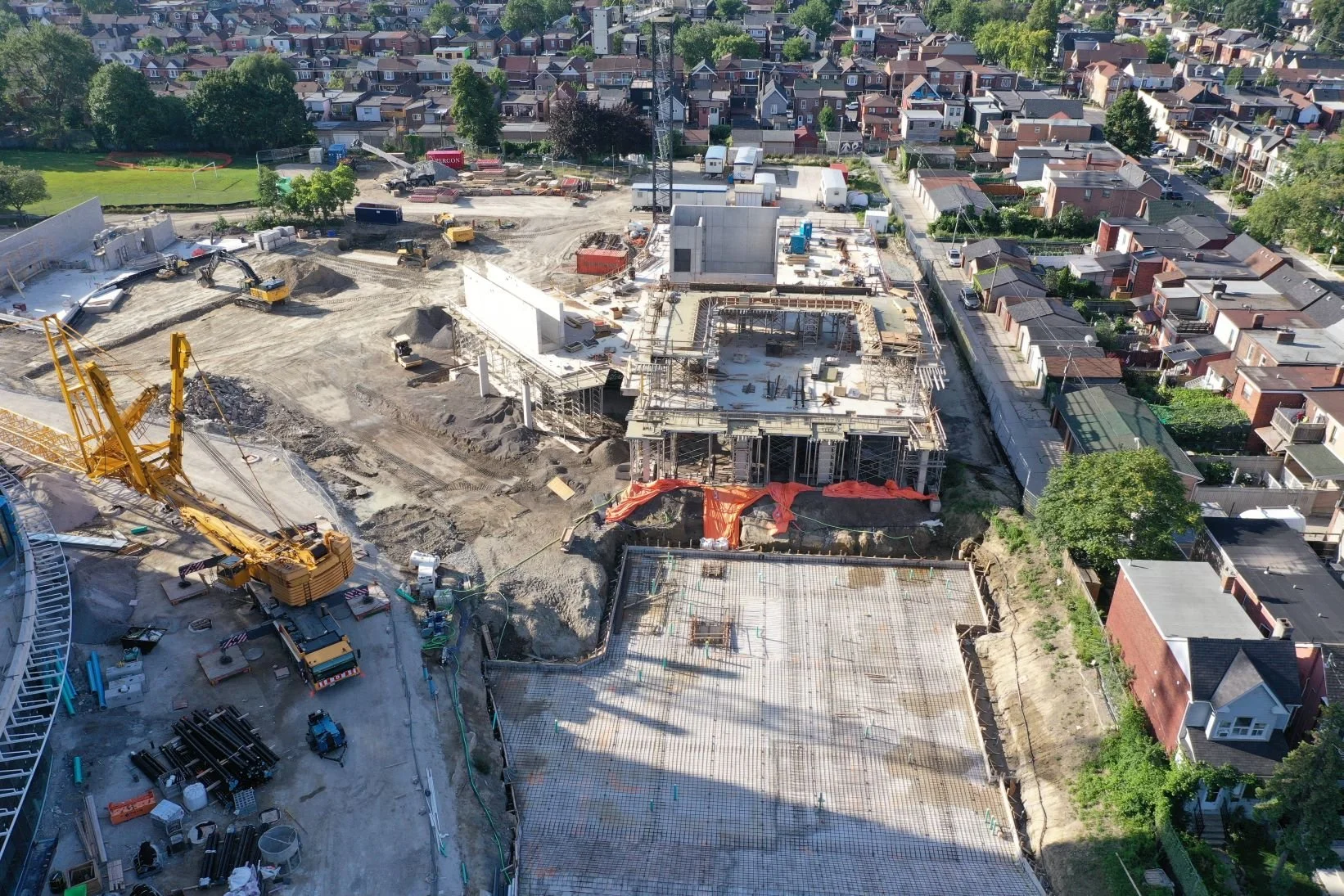
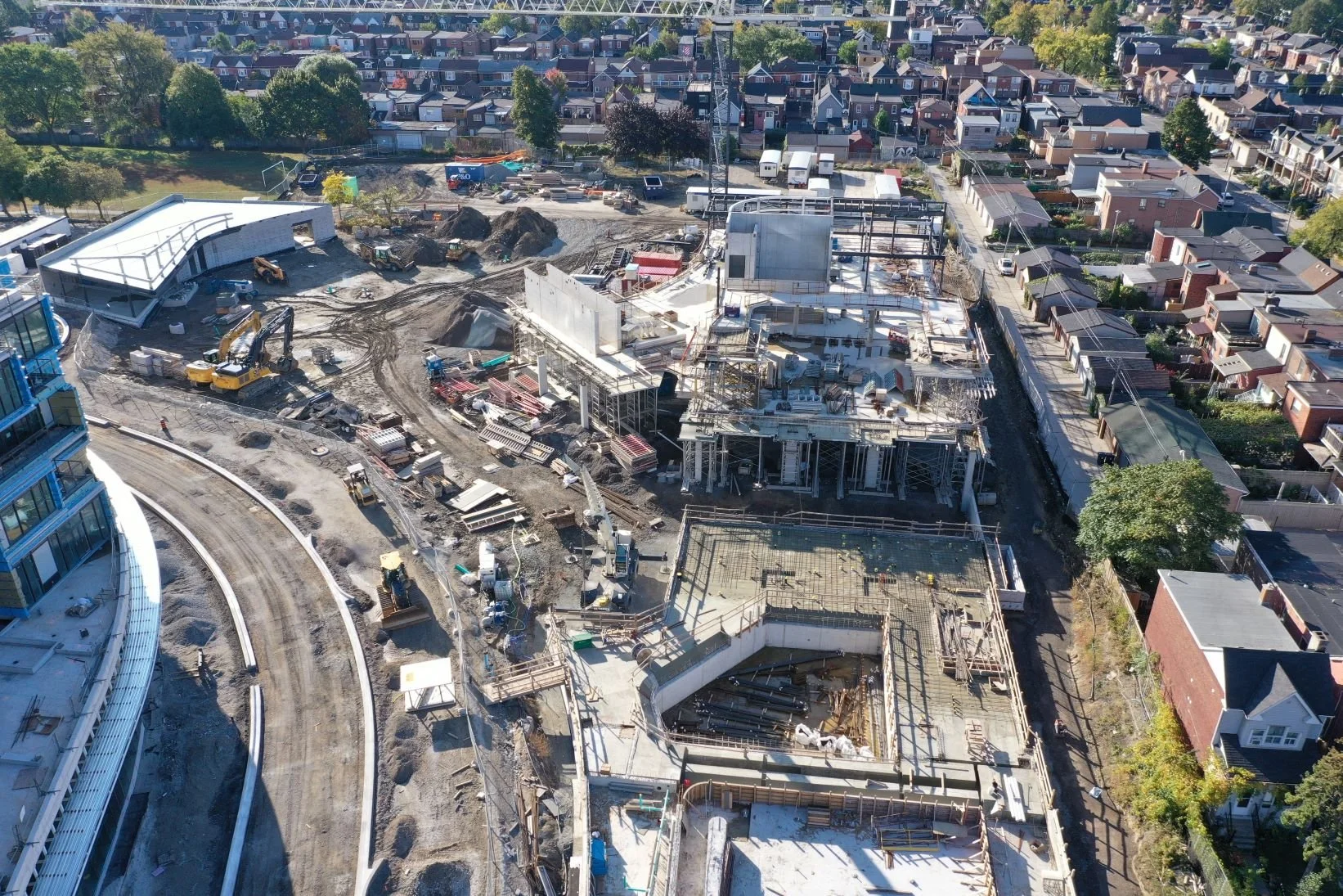
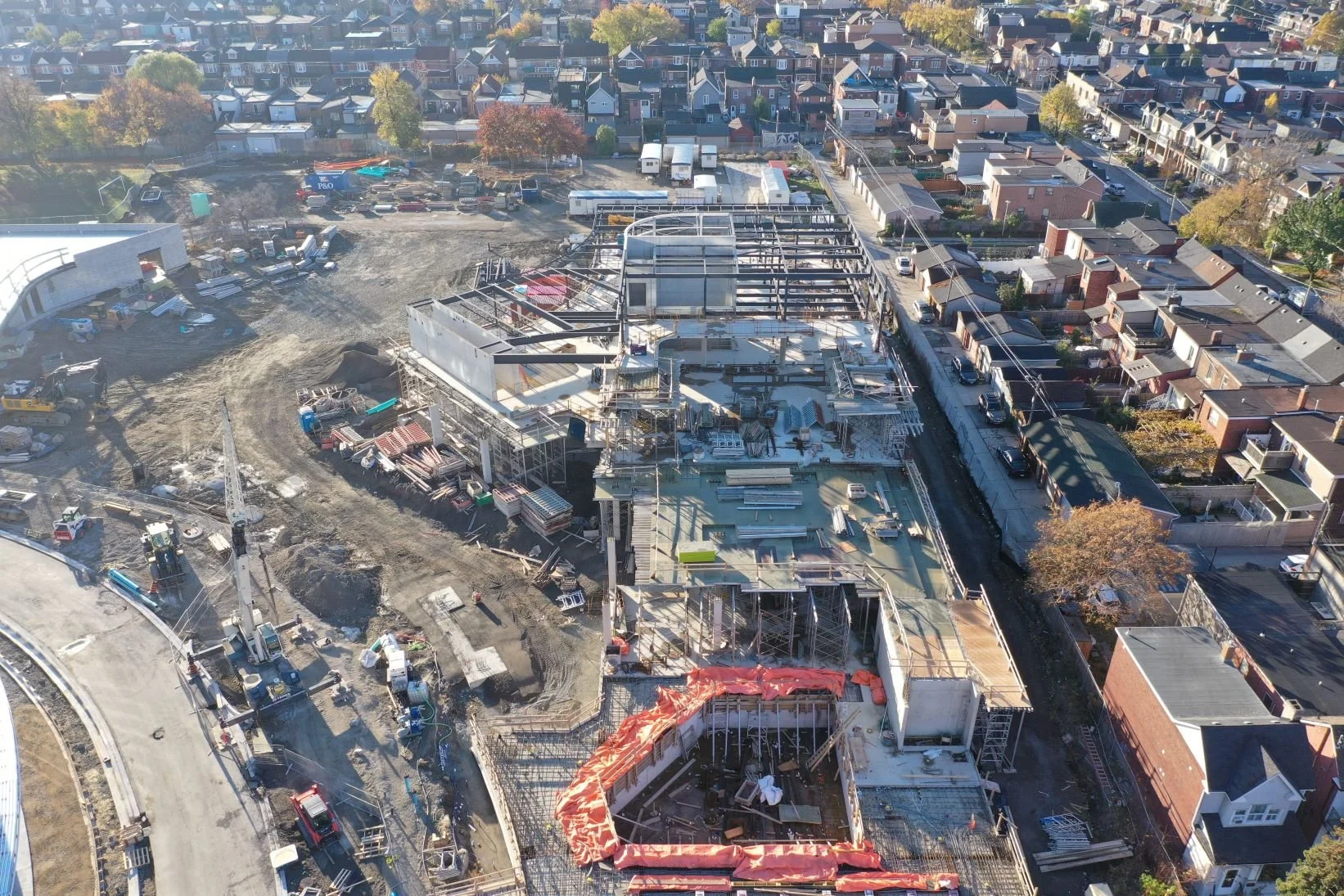
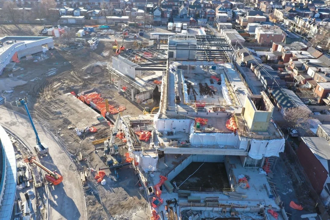
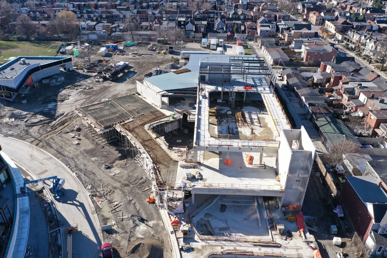
Photo Gallery