ENGINEERING & INFRASTRUCTURE


Best Tools For The Best Results
Leverage our experience and enterprise quality equipment to eliminate the guesswork and speed up the construction process. Some of the key areas we support:
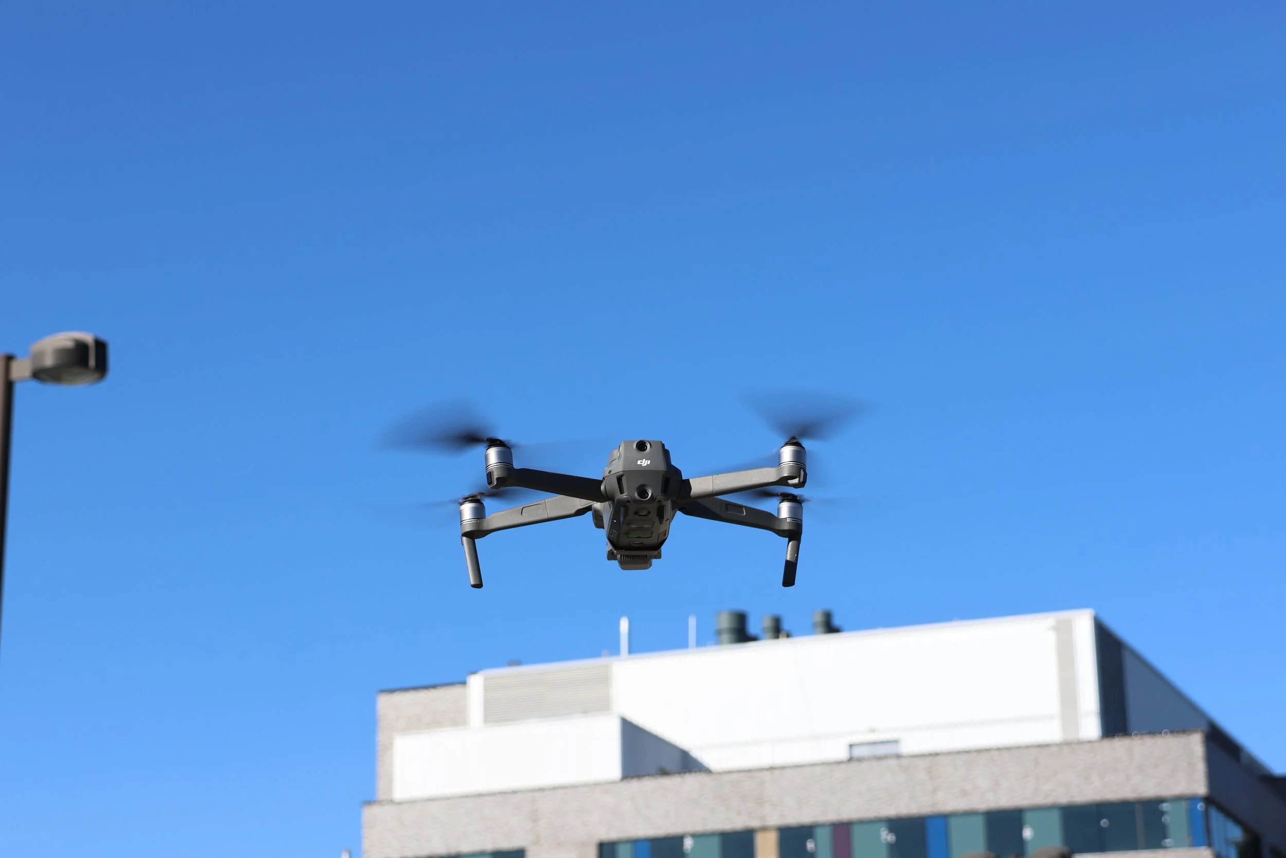
Aerial Mapping and Survey:
Utilize enterprise level RTK drones and ground control points to ensure absolute and relative accuracy
Create as-built models, point clouds and import data into AutoCAD.
Create geo-referenced topographic maps of pre, during and post construction operations.
Document road conditions and right of way access. Proves to stakeholders if pre-existing damage was present.
2D and 3D mapping as well as simultaneous photographic and video imagery for detailed comparison of your site.
Using a UAV surveying method, not only produces a Digital Surface Model (DSM), but also a georeferenced, highly detailed orthophoto (georeferenced to overlay in Google Earth or ArcGIS).
Fast, unaffected by cloud cover.
No bottleneck/delay for other trades or contractors waiting for data to proceed.
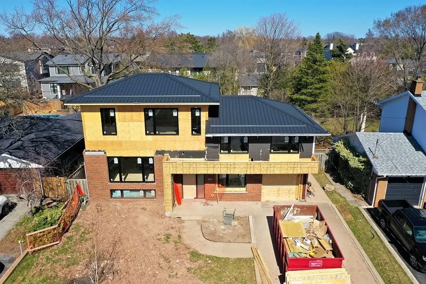
Aerial Inspections & Construction Progress Reports:
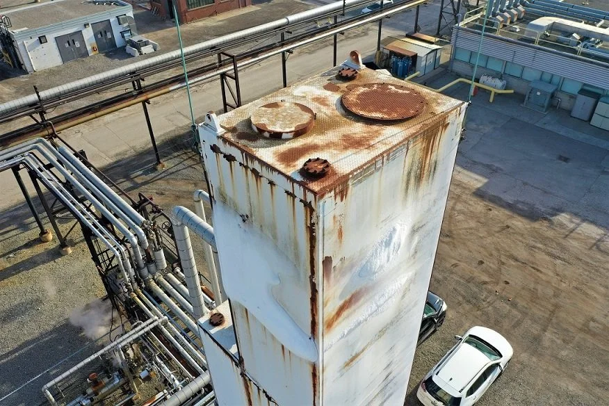
Conduct on-demand inspections to monitor the safety and integrity of an asset.
Provide regular imaging of construction sites to record progress
Improve efficiencies and eliminate human risk factors.
Use thermal imaging to reveal integrity issues in hard to access areas of buildings and structures like smokestacks, roof structures, water towers or silos.
Stay safe - no more rappelling, harnesses or cages.
Stockpile Reports - for quarries or open pit mining
Accurately determine stockpile volume (cut/fill)
Faster physical inventories, more often, more accurate.
Data to make material handling decisions, reduce write-offs.
Increase productivity, redeploy labour.
Reduce third party measuring expenses.
Enhance employee safety, no climbing piles.
Engineering/Structural Analysis:
Non contact, non invasive, safe for structures.
Equipment doesn’t need to be taken out of service.
Fast, safe, less expensive than other options.
Environmentally friendly.
Versatile - used for many applications, inspections, surveying, mapping.
Geo-referenced topographic maps, inspections, volumetric, thermal, LiDAR and so much more. literally the skies the limit!
Thermal Roof Inspection
-
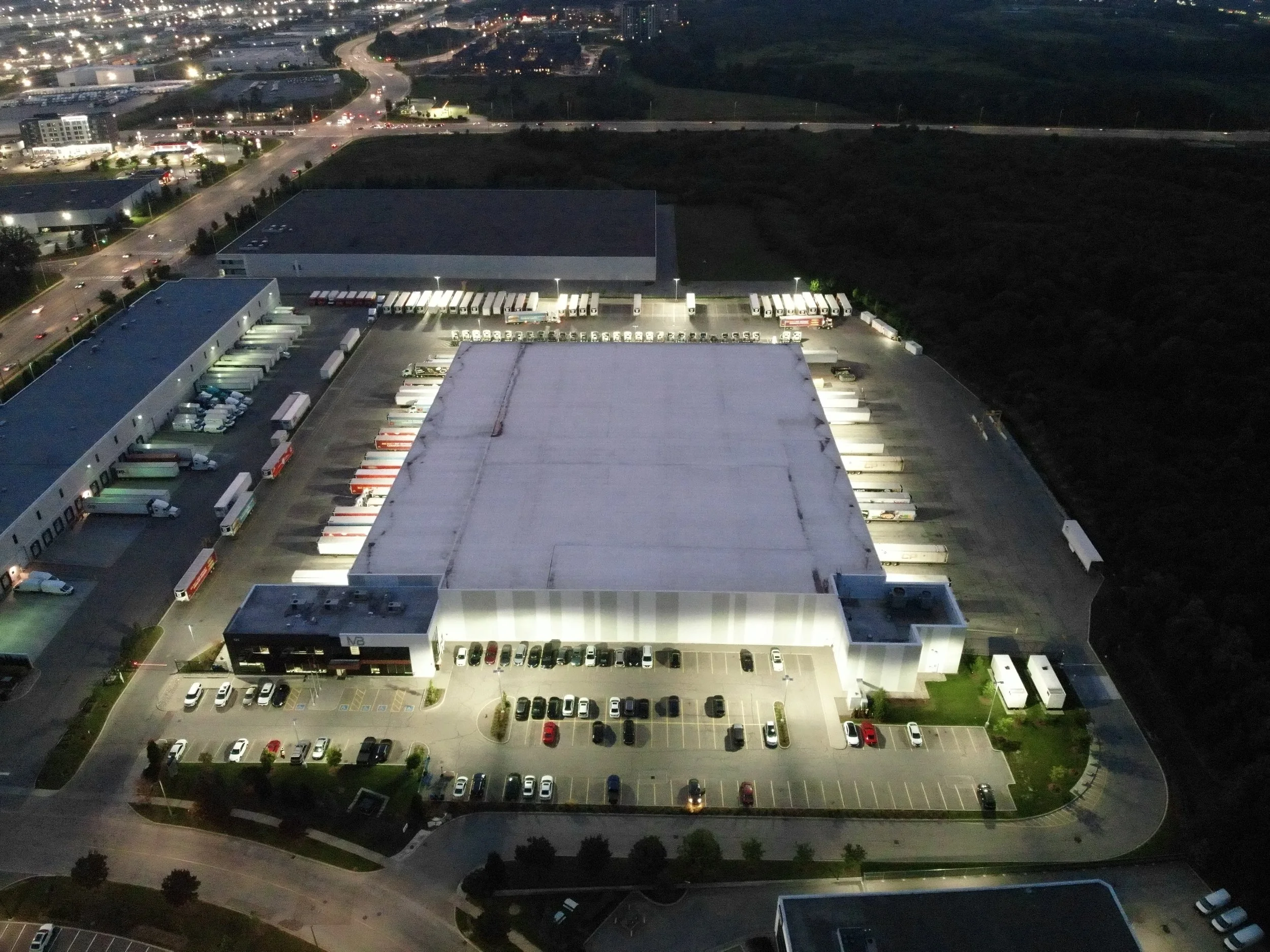
![Aerial view of an illuminated warehouse complex with parking and loading docks at night.]()
1 - Typically a thermal roof scan begins once there is no longer solar load on the building. Generally 30 minutes after sunset, but each roofing material will require a different time period.
-
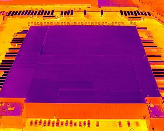
![Thermal image of a large industrial building with surrounding parking areas and vehicles visible in different heat signatures.]()
2 - A thermal image of the roof can help find potential issues like water ingress or heat loss.
-
![Colorful abstract thermal image of a microchip with orange and purple hues on a light background.]()
3 - Thermal images are stitched together to create an ortho mosaic image of the roof. Areas of interest can be investigated,
-
![Thermal image showing a heat signature on a surface with a crack or gap, displaying variations in temperature.]()
4 - This area shows signs of potential water ingress or damage to the roofing structure.
-
![Aerial view of a large building roof with visible dirt and wear along the seams.]()
5 - Capturing photographs of the roof during day light allows for a close examination of the areas identified as a concern.


LiDAR
-
![Colorful thermal image of outdoor scene with trees and rectangular structures]()
1 - A LiDAR scan creates a point cloud using a laser. The laser can penetrate vegetation and capture data points on the ground.
-
![LiDAR point cloud of trucks parked near a wooded area.]()
2 - This point cloud can be classified enableing the distinction between vegetation and the ground.
-
![LiDAR point cloud terrain model with elevation data, featuring ridges, valleys, and contours in orange and black.]()
3 - Once classified the ground points can be revealed by removing any vegetation. This allows for better planning of projects like road placement or fill calculations.
-
![A multicolored topographic map DEM Digital elevation model featuring blue, green, and orange contours, possibly indicating elevation differences or water bodies.]()
4 - LiDAR data can also produce a very accurate digital elevation model (DEM) revealing true ground contours.


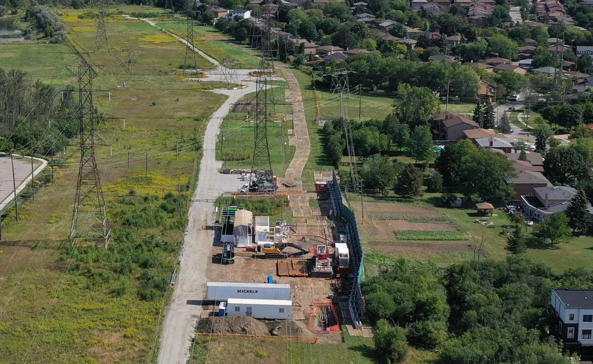
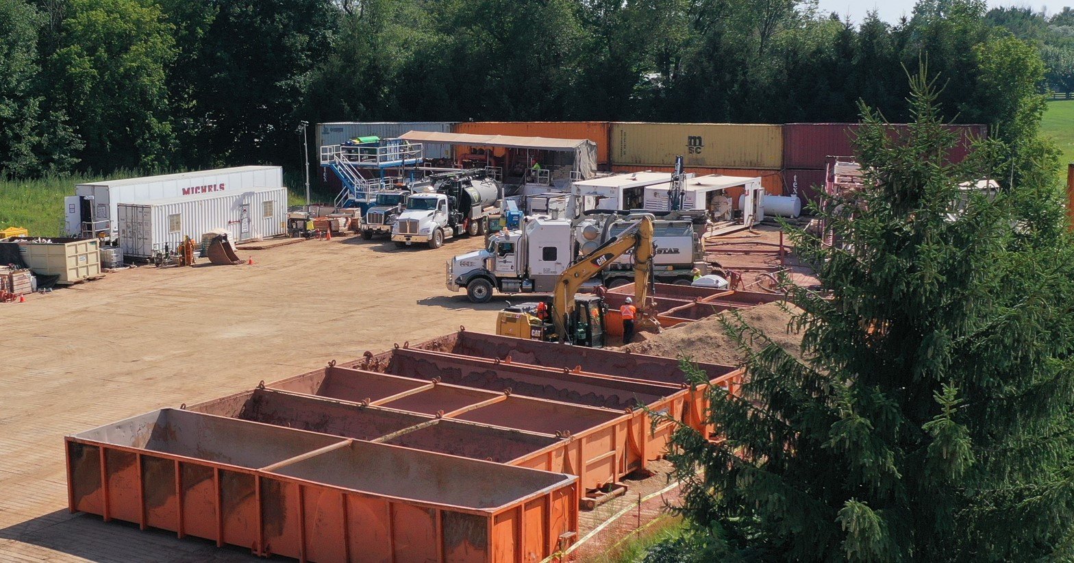
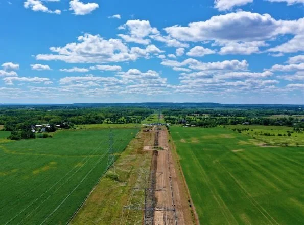
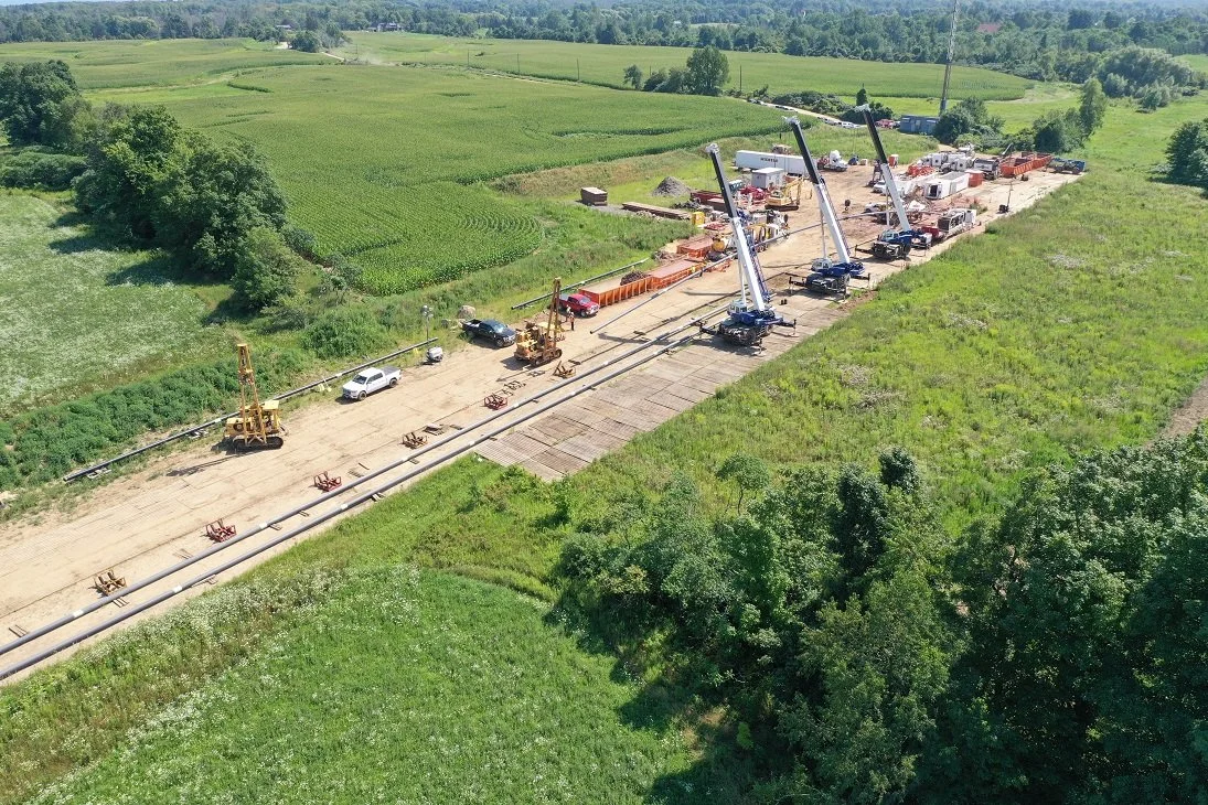
Construction Progress Monitoring
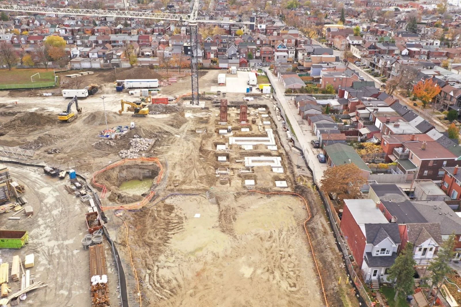
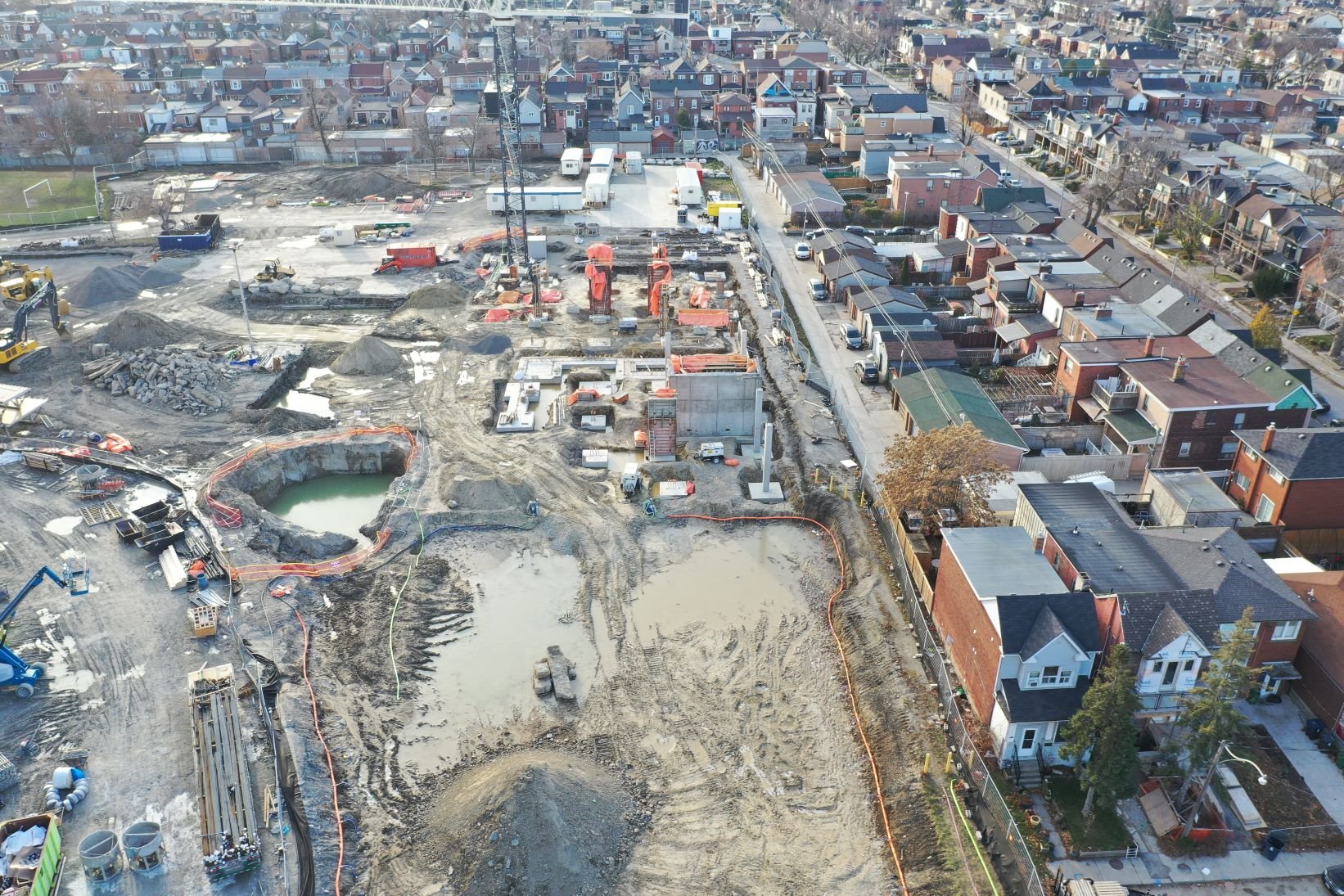
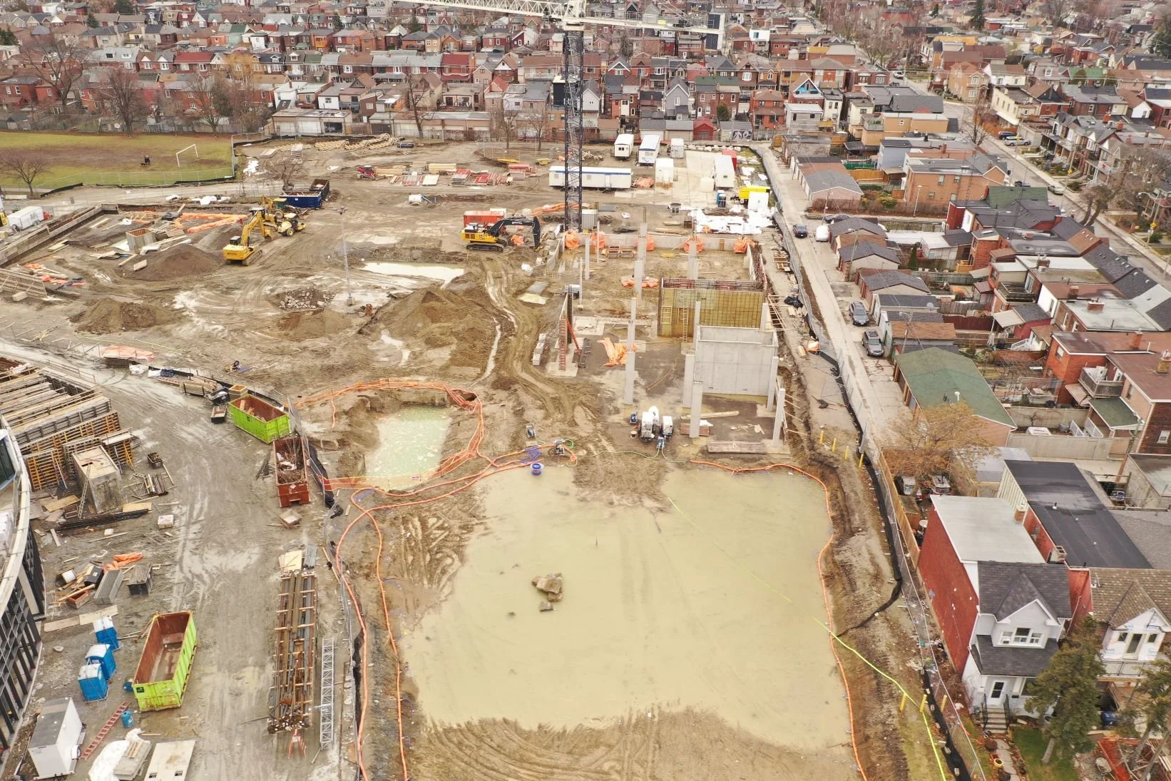
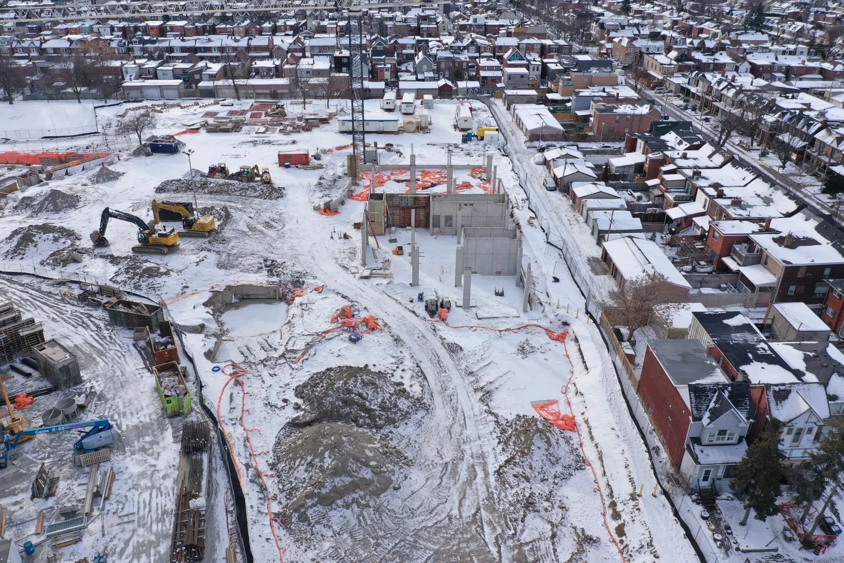
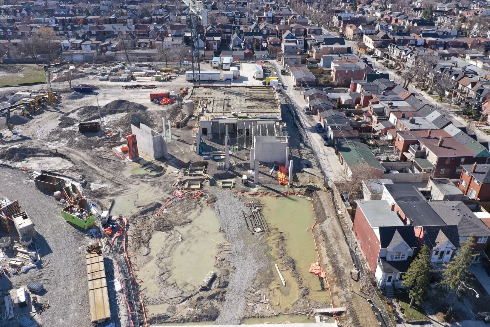
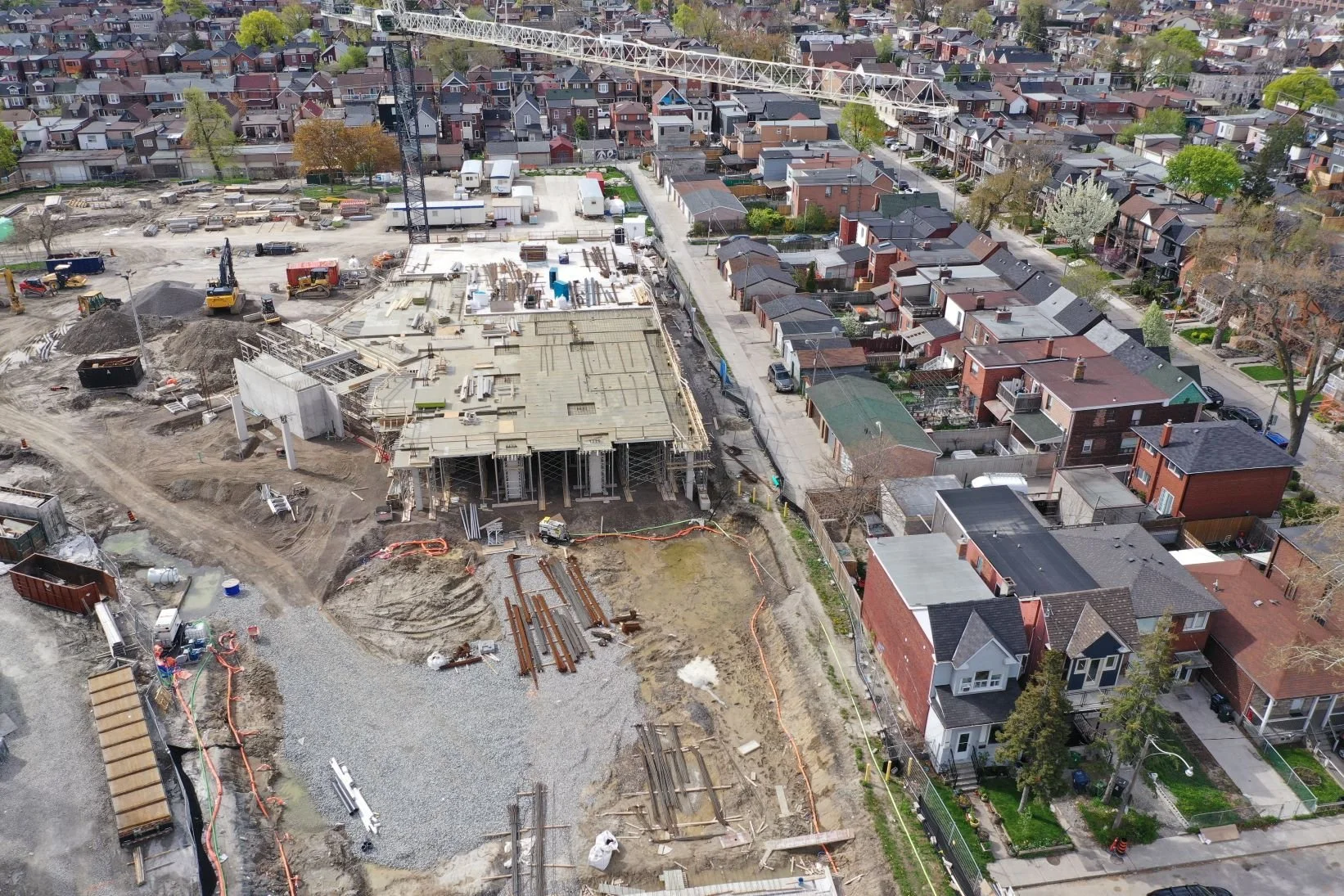
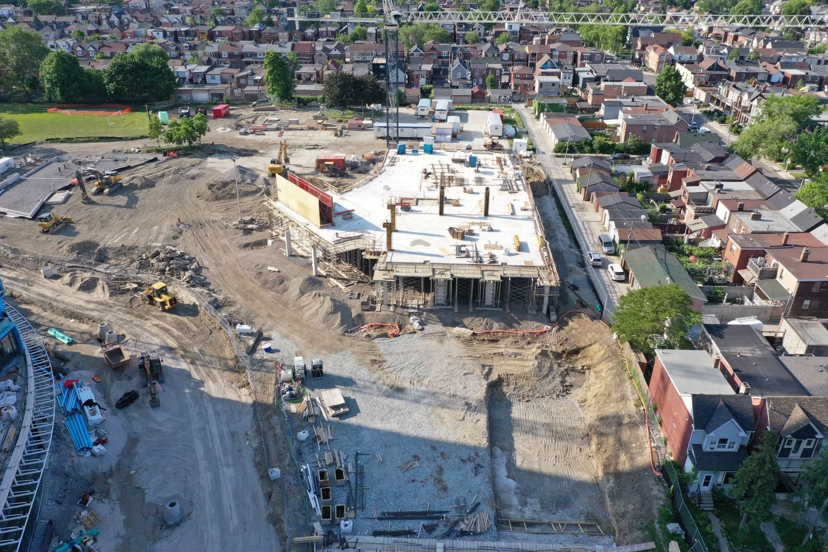
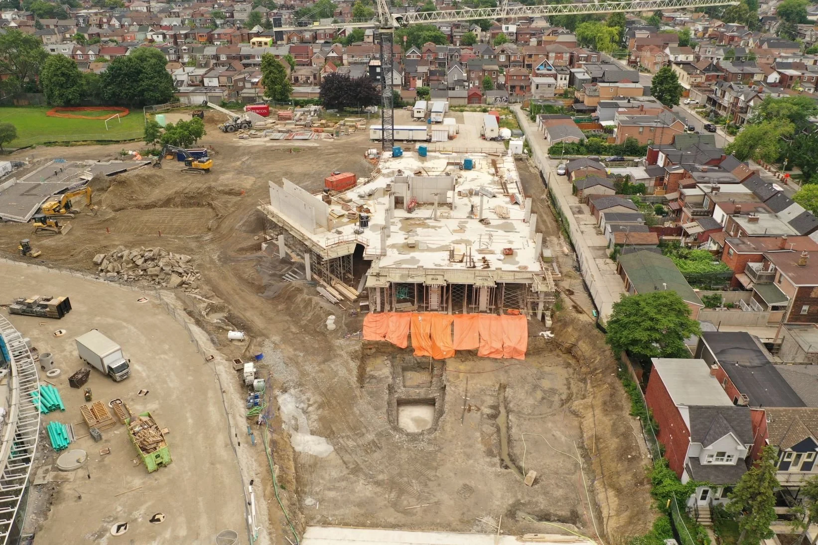
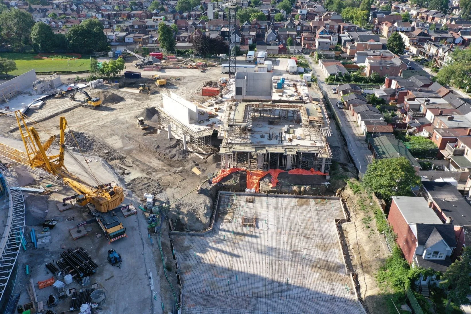
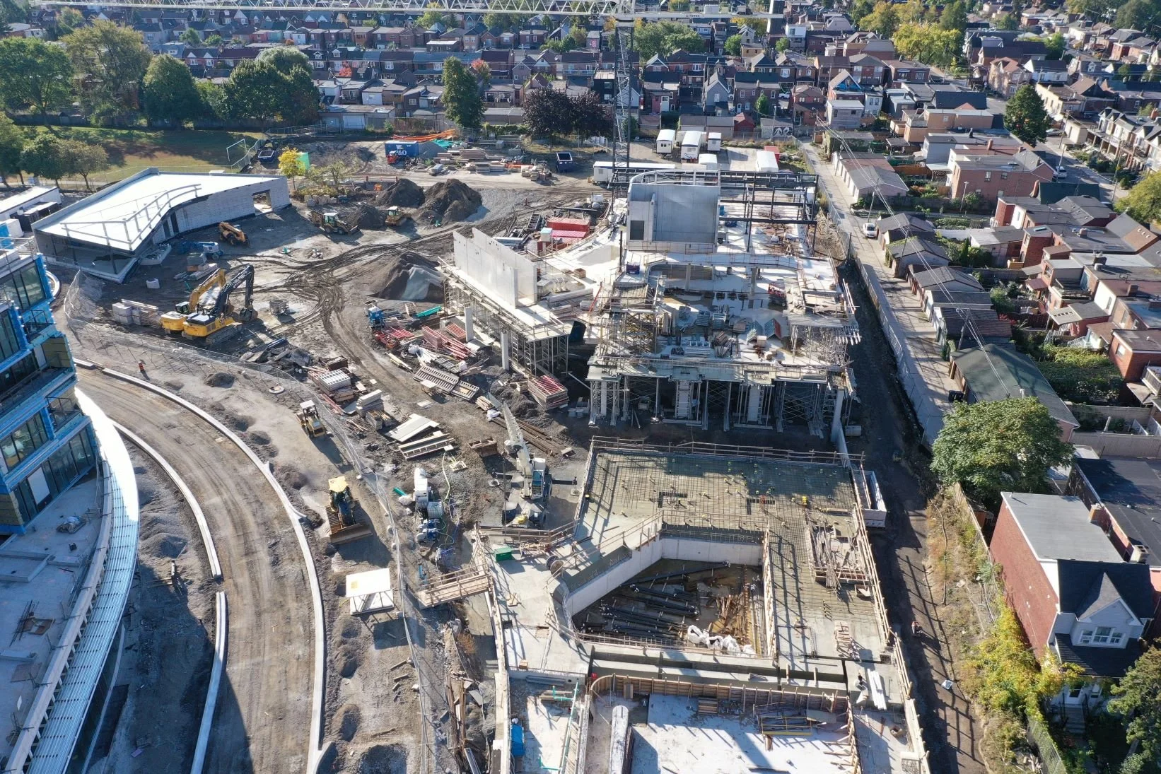
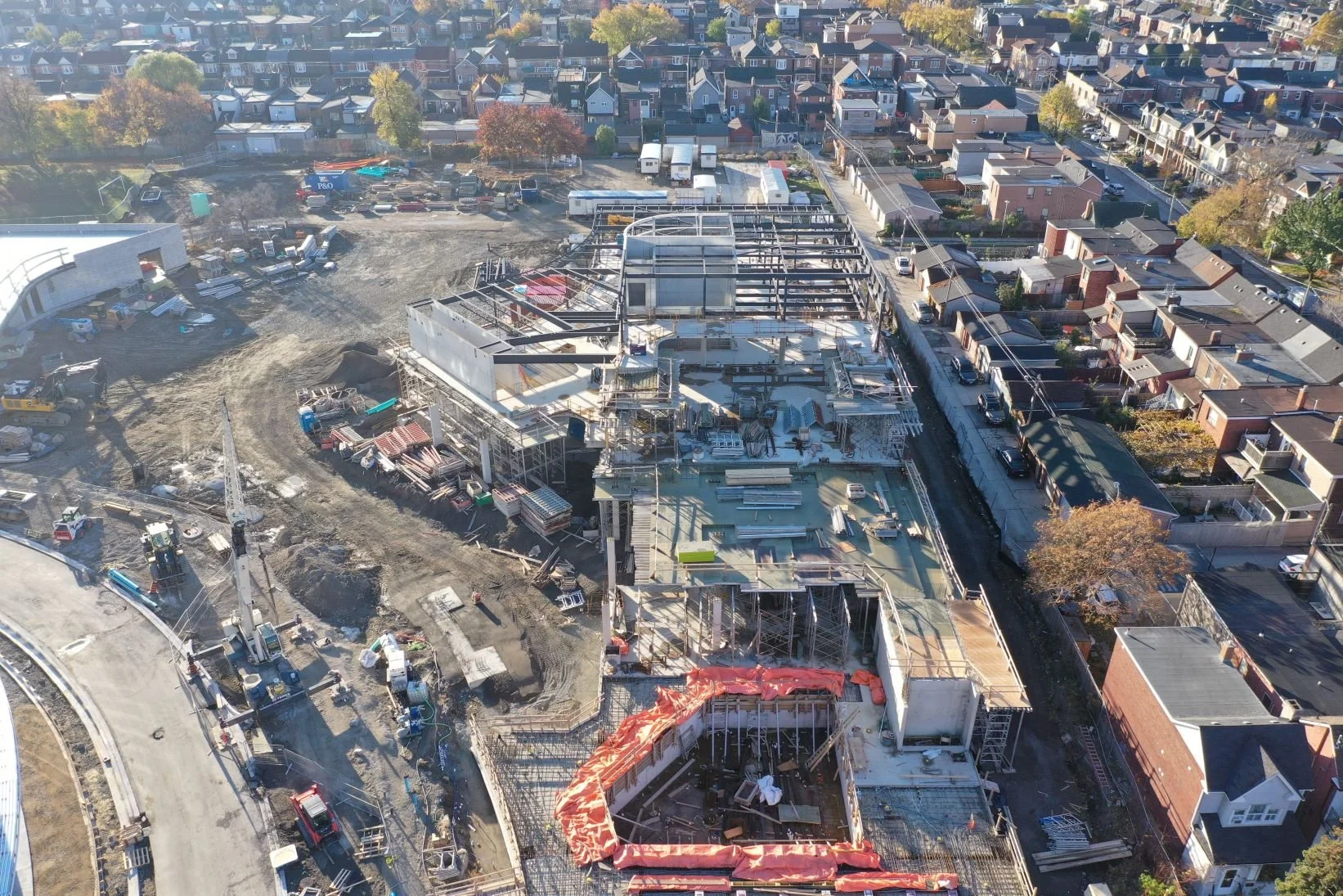
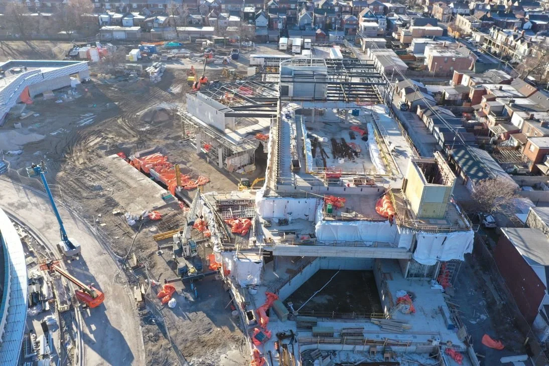
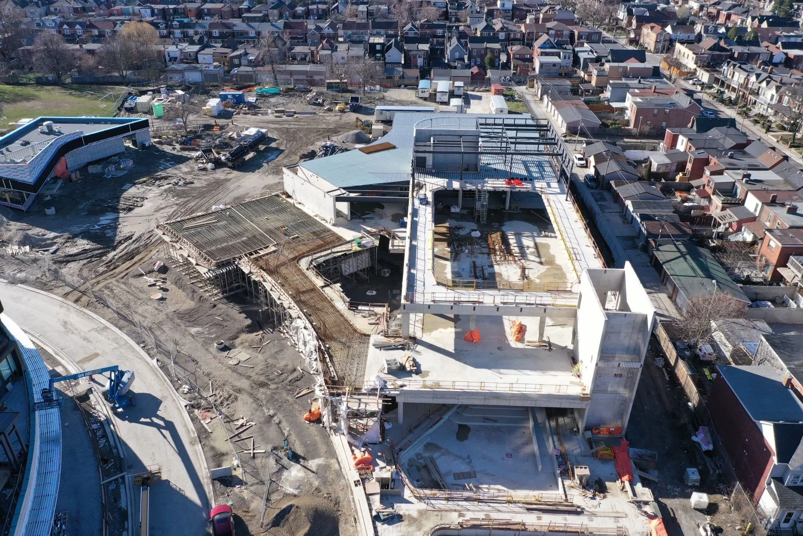
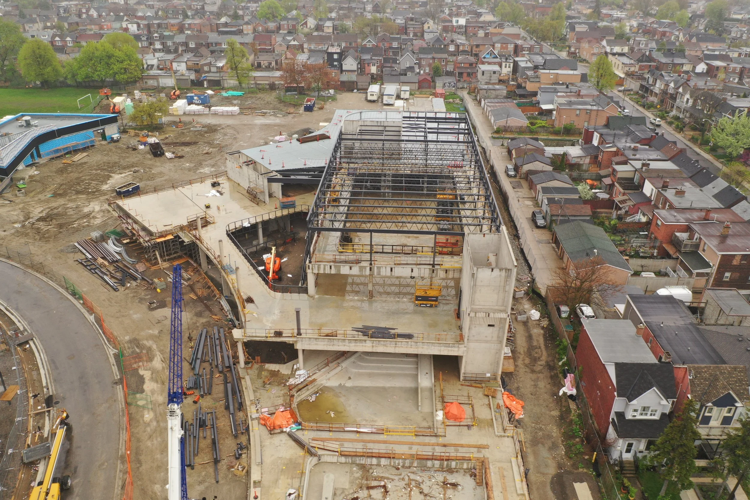
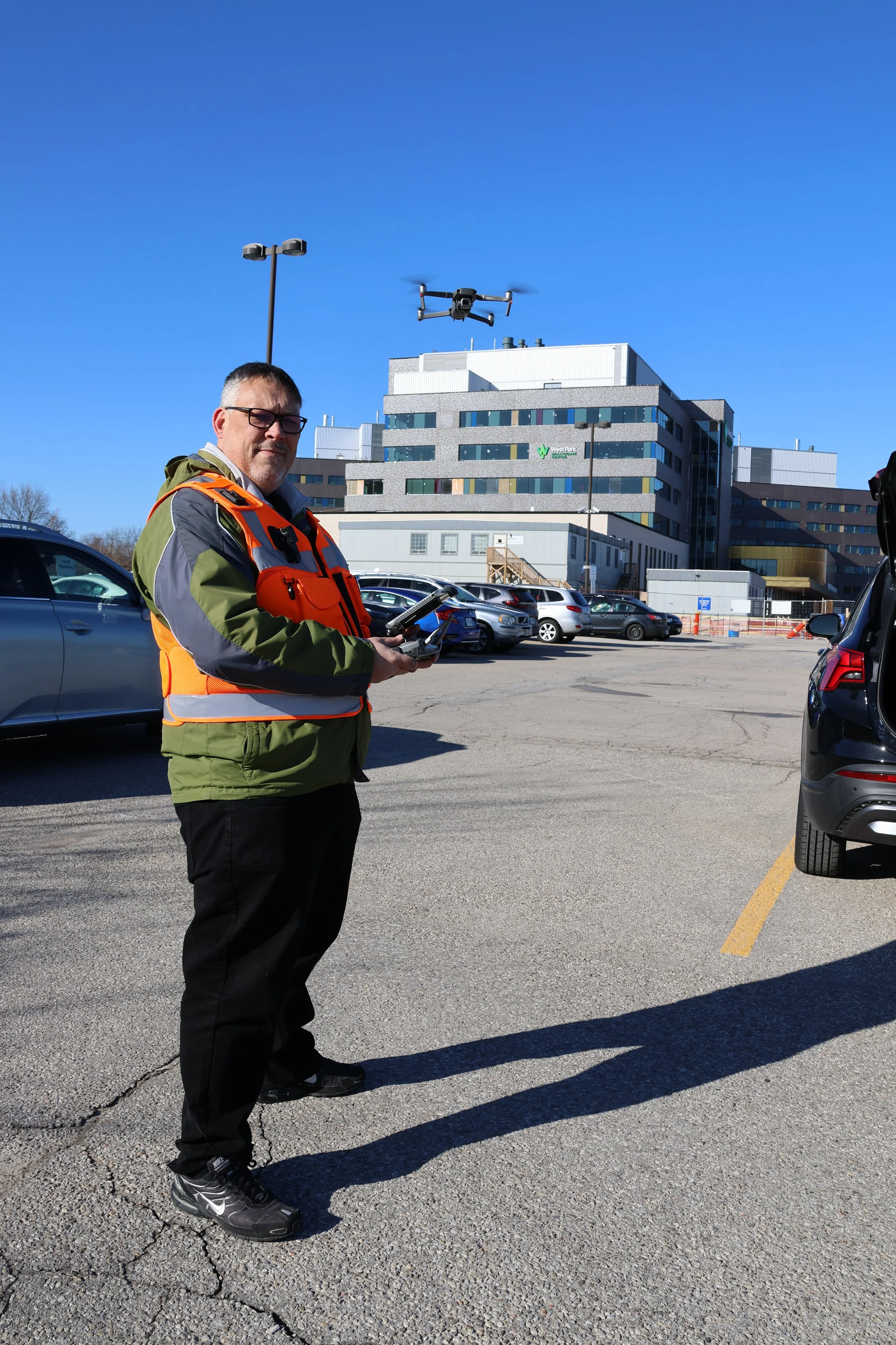
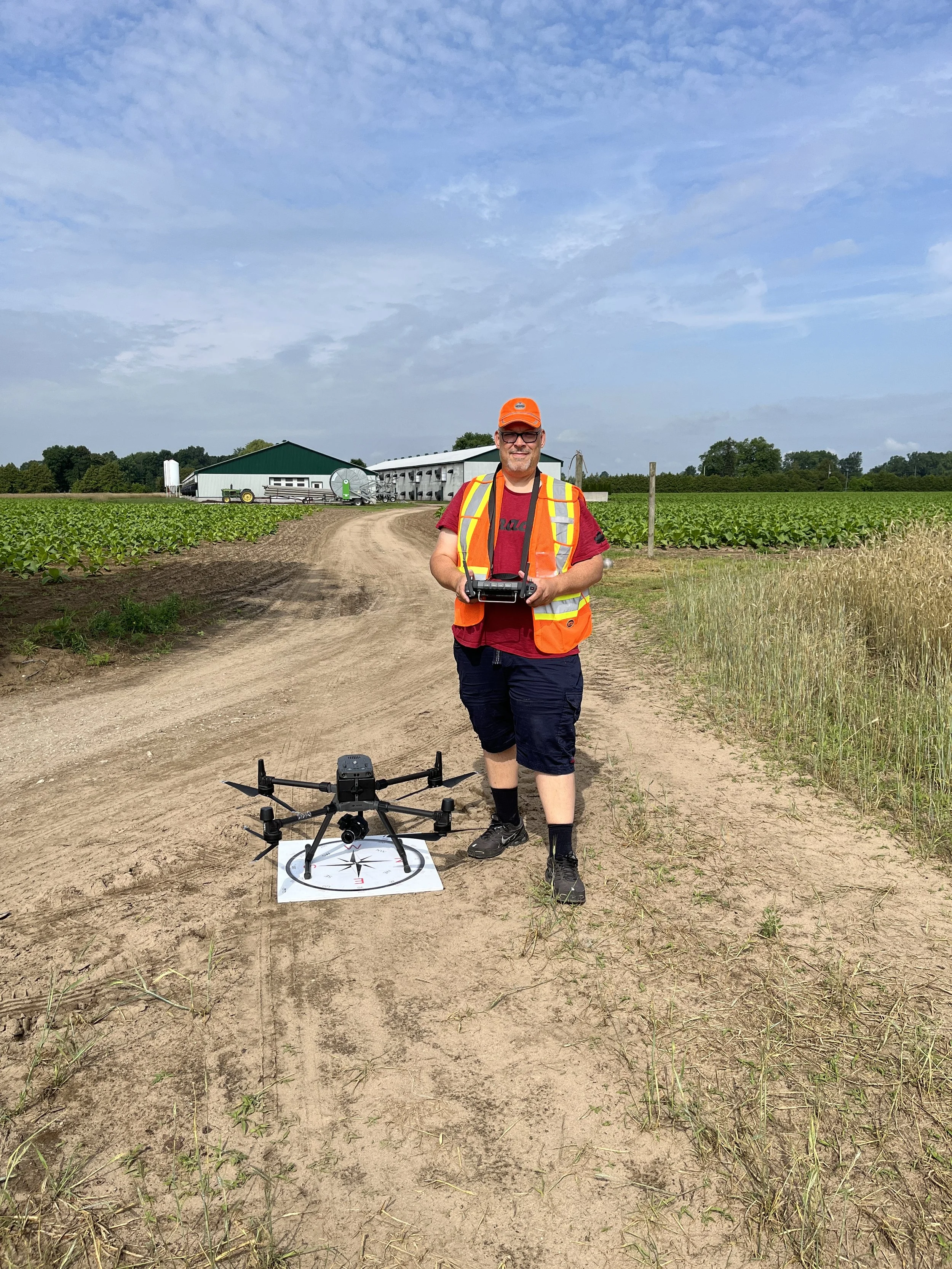
Photo Gallery